Welcome
Mapping and Modelling Geographic Data in R

About the course
The contents of this course were first developed for a short course at the University of Cape Town (UCT) in August 2022. It also forms part of the MSc Geographic Data Science and Spatial Analytics in the School of Geographical Sciences, University of Bristol.
The aims of this course are to teach an introduction to mapping, spatial analysis in R. It is a course in geographic data science with a particular focus on mapping, measuring and modelling spatial patterns in data. The core parts of the course are:
- Why use R for mapping and spatial modelling?
- The basics of mapping in R
- The Spatial Variable: from maps towards models
- Spatial clustering and spatial heterogeneity: measuring patterns in data
- Harnessing spatial autocorrelation with geographically weighted statistics
- Spatial regression models

This is a live document and work in progress
Changes are made and additional content added over time so check back here for the latest updates.
Course text
The most relevant texts for this course are:
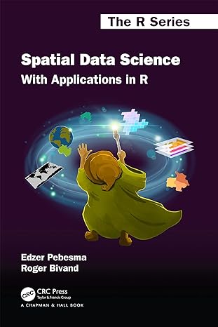
First, parts II (Chapters 7 to 9) and III (Chapters 10 to 17) of Spatial Data Science with Applications in R. An online version of the book is available here. It takes a deeper dive into the fundamentals of spatial data science than this course does and is more ‘technical’ but is a good resource to extend your knowledge of geographical/spatial data science.
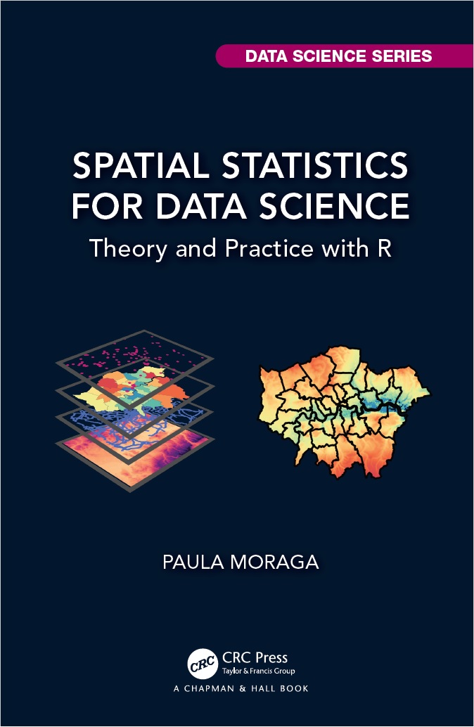
Second, Chapters 2, 3, 5, 7 and 8 of of Spatial Data Science with Applications in R. An online version of the book is available here.
Pre-reading
The following short pre-reading is recommended for the course:
Harris R (2025). Quantitative Methods in Geography. In B Warf (ed.) The Encylopedia of Human Geography. Available here.
Harris RJ (2019). Not just nuisance: spatialising social statistics. In A Whitworth (ed.) Towards a Spatial Social Policy: Bridging the Gap Between Geography and Social Policy. Chapter 8. Bristol: Policy Press. Available here (or, if that doesn’t work try here).
Other useful resources
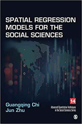
Spatial Regression Models for the Social Sciences covers similar statistical ground to this course, For University of Bristol students, it is available to view as an eBook here.
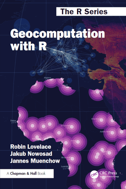
In addition, Geocomputation with R by Robin Lovelace, Jakub Nawosad & Jannes Muenchow offers an extremely useful reference to have to hand if you are stuck when undertaking geocomputation with R. There is a free online version available.
Provisional Masters schedule
For the 2025-6 iteration of the Masters unit, the teaching schedule is:
| Week | Date | Lecture | Practical | Content | Led by |
|---|---|---|---|---|---|
| 1 | Tues Sep 23 | 9 - 10am | 11 - 12.30pm | Introduction to the course, why R and set-up practical | RH |
| 2 | Tues Sep 30 | - | 11 - 1pm | Flavours of R | RH |
| 3 | Tues Oct 7 | 9 - 10am | 11 - 1pm | Mapping the spatial variable 1 | RH |
| 4 | Tues Oct 14 | 9 - 10am | 11 - 1pm | Mapping the spatial variable 2 | RH |
| 5 | Tues Oct 21 | 9 - 10am | 11 - 1pm | Measuring spatial autocorrelation | RH |
| Thur Oct 23 | - | 9 - 10.30pm | Drop-in/help session (optional) | RH | |
| 6 | - | - | - | - | |
| 7 | Tues Nov 4 | 9 - 10am | 11 - 1pm | Statistics 1 | BC |
| 8 | Tues Nov 11 | 9 - 10am | 11 - 1pm | Statistics 2 | BC |
| Thurs Nov 13 | - | 9 - 10.30pm | Drop-in/help session (optional) | BC | |
| 9 | Tues Nov 18 | 9 - 10am | 11 - 1pm | Geographical Weighted Statistics | RH |
| 10 | Tues Nov 25 | 9 - 10am | 11 - 1pm | Spatial regression | RH |
| Fri Nov 28 | - | 1 - 2.30pm | Drop-in/help session (optional) | RH | |
| 11 | Tues Dec 2 | 9 - 10am | 10.30 - 1pm | TBC | RH |
Copyright notice
This work is licensed under a Creative Commons Attribution-NonCommercial-ShareAlike 4.0 International License.
#justsaying!


